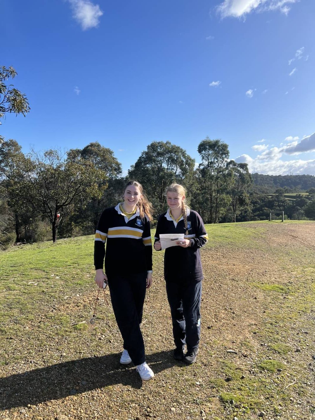
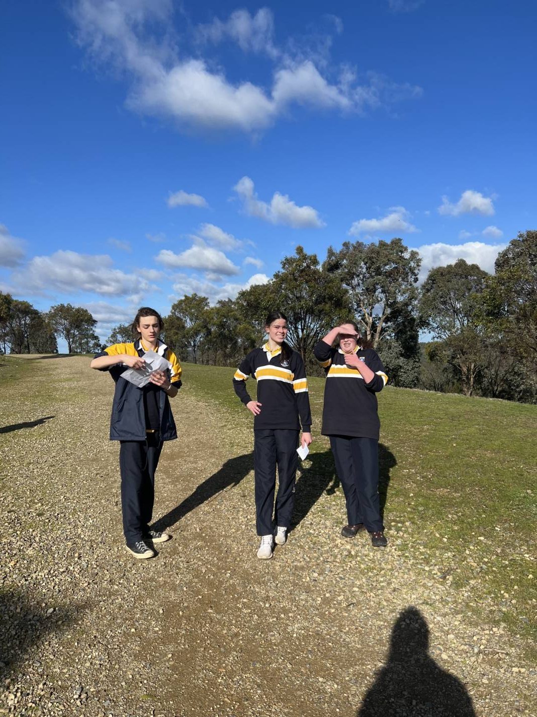
As part of the Year 10 Outdoor Education program, students undertake studies in navigation and map reading. While this supplements the work in Geography classes, Outdoor Education students rounded off these studies with an orienteering excursion to Mount Lofty, which is situated on Wurundjeri land, on Wednesday 3 August.
I learnt how to use the map and got a bit of understanding on contour lines. I learnt how to explore by myself and work within a team. For orienteering practice we had to find markers that were hung up on the trees. Orienteering promotes stamina, independence from technology, and spatial reasoning abilities, as well as cooperation skills. I got lots of fun out of it and a better connection with my peers.
— Liam Haynes (Year 10 Silver)
The aim was to find 10 markers around the park, each of which had a staple on it with a different print that we then stamped on to our results card. We were also given a map with the different points on them and a compass to find out where we were located and where we started. This tested our map and compass skills. I learnt that I need to understand which are track lines and which are water lines more. I got a good solid walk out of it and I got to get out of the classroom and get some fresh air.
— Lara Graves (Year 10 Silver)
My team, composed of myself, Tahli, and Amelia, came first! I learnt more about map reading and honing, and how to efficiently manage our time. As a new student to the school, I think it was great to meet and make a connection with new people.
— Harley Lucas (Year 10 Silver)
Beforehand we did a lot of theory on navigation such as learning how to use a compass and reading maps. I learnt that using the natural features around you are a good way to find the markers to complete the course. It was a fun experience and I definitely want to do it again.
— Lachlan Avery (Year 10 Blue)